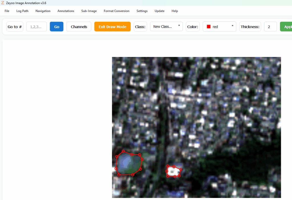
1. Select the RS folder as the opened folder.

2. Choose the bands to display.

3. Annotate samples — they will be saved automatically.

You can stretch the image to optimize display.

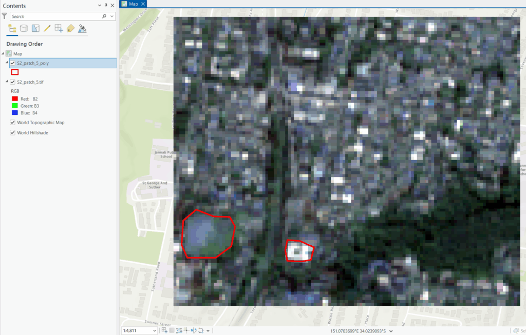
4. Export the shapefile, which can automatically detect the current image’s coordinate system or use a user-specified reference image.

5. Export the shapefile, which can automatically detect the current image’s coordinate system or use a user-specified reference image.


5. The exported shapefile displays correctly in GIS software such as ArcGIS Pro.
